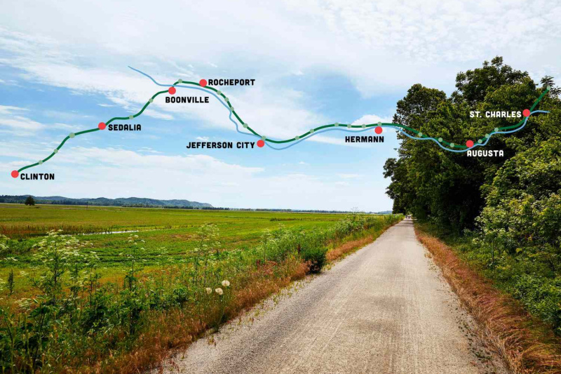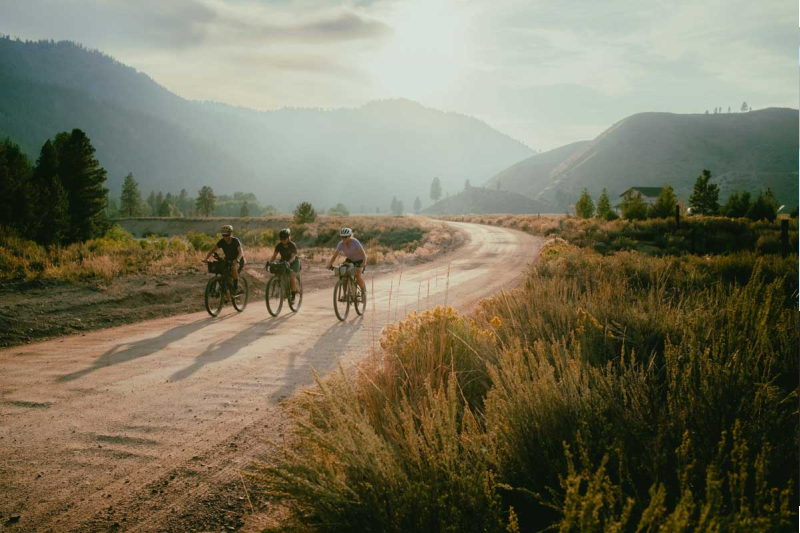
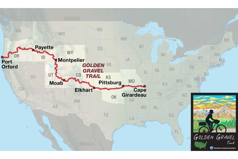
The Adventure Cycling Association (ACA) has introduced the Golden Gravel Trail, a monumental 3,805-mile (6,124 km) digital-only route spanning eight states to celebrate its 50th anniversary . This massive undertaking stretches from Cape Girardeau, Missouri, to Port Orford, Oregon, and promises to be a defining achievement for long-distance gravel cyclists and bikepackers .
However, the reality of riding such an expansive western route in late summer and fall of 2026 demands more than just strong legs and reliable gear. Active wildfires and resulting route closures across the western United States, particularly in Oregon and Idaho, mean that riders must remain exceptionally flexible and vigilant . The trail is calling, but the fire season is dictating the terms.
The Terrain: What to Expect Across Eight States
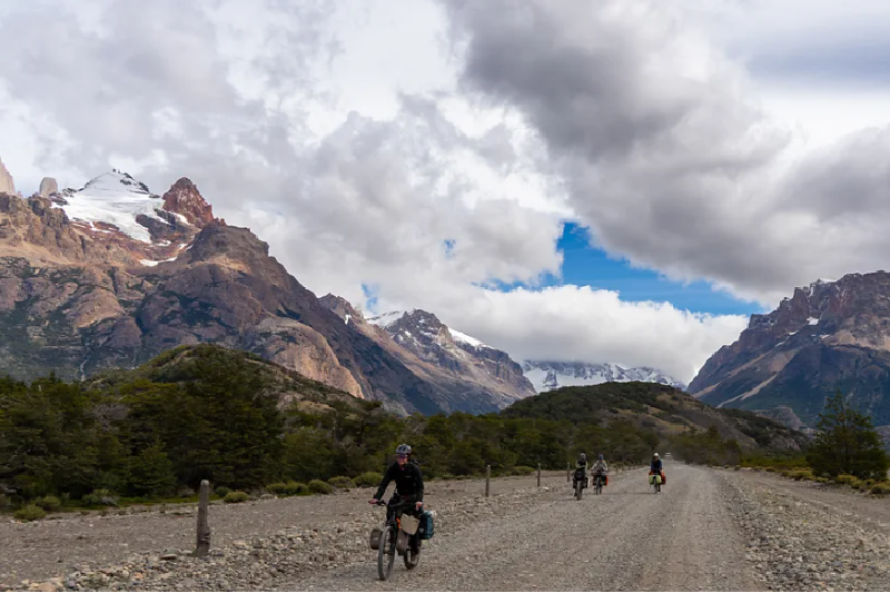
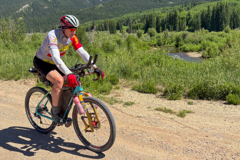
The Golden Gravel Trail is a masterclass in geographic diversity. It traverses the rolling hills of the Ozarks, the vast expanses of the Great Plains, the soaring peaks of the Rocky Mountains, the rugged Colorado Plateau, and finally, the dramatic Pacific Coast . With approximately 70 percent of the route consisting of unpaved surfaces, riders can expect a heavy dose of gravel and low-traffic dirt roads .

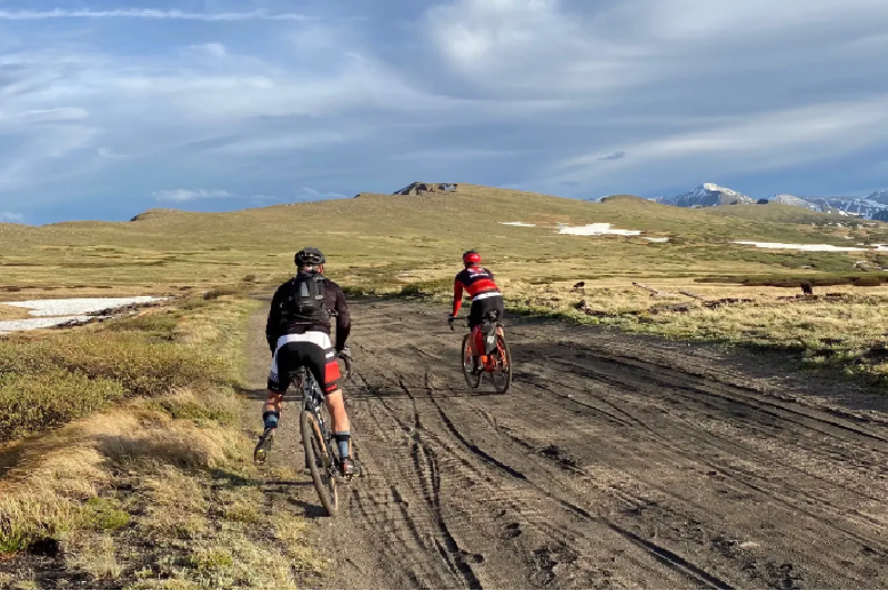
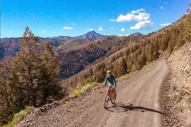
The route’s highest elevation is reached at Cumberland Pass in Colorado, topping out at a breathless 12,034 feet (3,668 meters) . From there, the terrain remains challenging, featuring steep, rugged climbs as it pushes westward into Oregon .
While the Golden Gravel Trail intentionally avoids highly technical singletrack, it is not a casual endeavor. The sheer remoteness of many sections requires riders to carry multi-day supplies of food and water, testing self-sufficiency as much as endurance .
With 70 percent of the route unpaved and resupply points spaced days apart, self-sufficiency is mandatory.
The Wildfire Reality: 2026 Closures and Reroutes
The most pressing challenge for anyone attempting the Golden Gravel Trail right now is not the elevation profile, but the active 2026 wildfire season. Significant closures are currently affecting the western portions of the route, notably in Oregon and Idaho .
It is crucial to understand that these conditions change daily. The route cannot be considered completely open or safe to ride end-to-end at this time. Riders are adapting in various ways. Some are choosing to skip heavily impacted sections—for instance, dropping into the route near Boise, Idaho, to avoid closures further west—while others are opting to postpone their trips entirely until conditions improve .
Before setting out, and continuously during the ride, cyclists must verify real-time conditions using official resources such as the ACA Route Conditions Map and local fire tracking services .
Changing weather and active fire management require riders to stay flexible and respect local closures.
Planning and Logistics: Navigating the Digital Route
In a modern twist for the ACA, the Golden Gravel Trail is offered exclusively as a digital route . As part of the 50th-anniversary celebration, the navigation data is currently available for free via Ride with GPS .
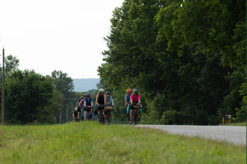
Recognizing that a continuous 3,800-mile journey is out of reach for many, the ACA encourages “Drop-in Rides” . This concept invites cyclists to tackle any section of the route that fits their schedule and current regional conditions, making the trail accessible to weekend warriors and month-long expeditioners alike .
When planning a segment, logistics are paramount. The route’s remoteness means that guaranteed resupply points can be scarce. Riders must verify the current availability of water and food stops, as seasonal businesses may close or be impacted by regional emergencies. Bike setups must prioritize reliability and carrying capacity over sheer speed.
| Planning Consideration | Key Strategy |
| Navigation | Download the free digital route via Ride with GPS . |
| Safety | Check daily fire and smoke conditions using official maps . |
| Supplies | Carry extra food and water capacity for extreme remoteness . |
| Flexibility | Embrace “Drop-in Rides” and be prepared to reroute or postpone . |
Conclusion: Flexibility is the Ultimate Gear
The Golden Gravel Trail is a monumental addition to American bikepacking, offering an unparalleled cross-country mixed-surface experience. However, successfully riding it—especially during the late summer and fall fire season—requires a mindset shift.
Riders must prioritize safety above all else, respect local closures without exception, and embrace the necessity of rerouting. The Golden Gravel Trail will be there when conditions improve; until then, flexibility is your most essential piece of gear.
Note: Wildfire and route closure conditions must be verified immediately prior to riding, as they change daily. Do not assume the route is fully open.